What We Do
Nektar 3D offers point cloud data collection and data processing services to clients.
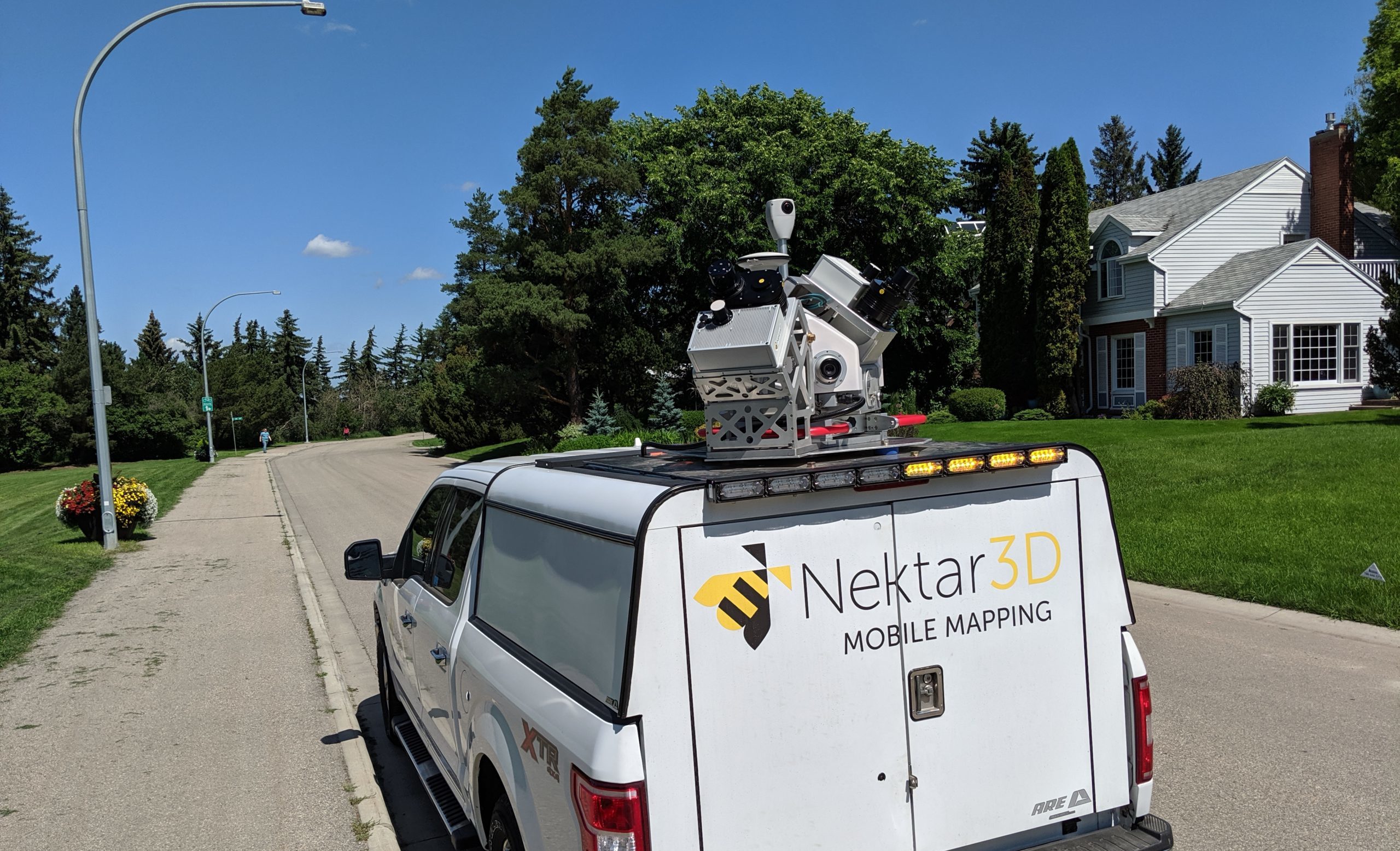
Nektar 3D Mobile Mapping
Nektar 3D Mobile Mapping uses cutting-edge LiDAR technology to accurately survey terrain and infrastructure elements. In a single survey pass, the technology can create a highly detailed three-dimensional representation of the surrounding environment. Although commonly mounted onto trucks to scan roadways, Nektar 3D scanning equipment can fit onto any moving vehicle or platform, including ATV, rail and boat.

Nektar 3D Consulting
Nektar 3D Consulting uses machine learning, Artificial Intelligence, and advanced statistical pattern recognition to process point cloud data for transportation agencies, engineering consultants, and utility companies all around the world.
The algorithms developed by Nektar 3D Consulting’s team can be utilised for fully automated, network-level extraction of roadside features as well as advanced assessment of roadway design elements.