Our Equipment
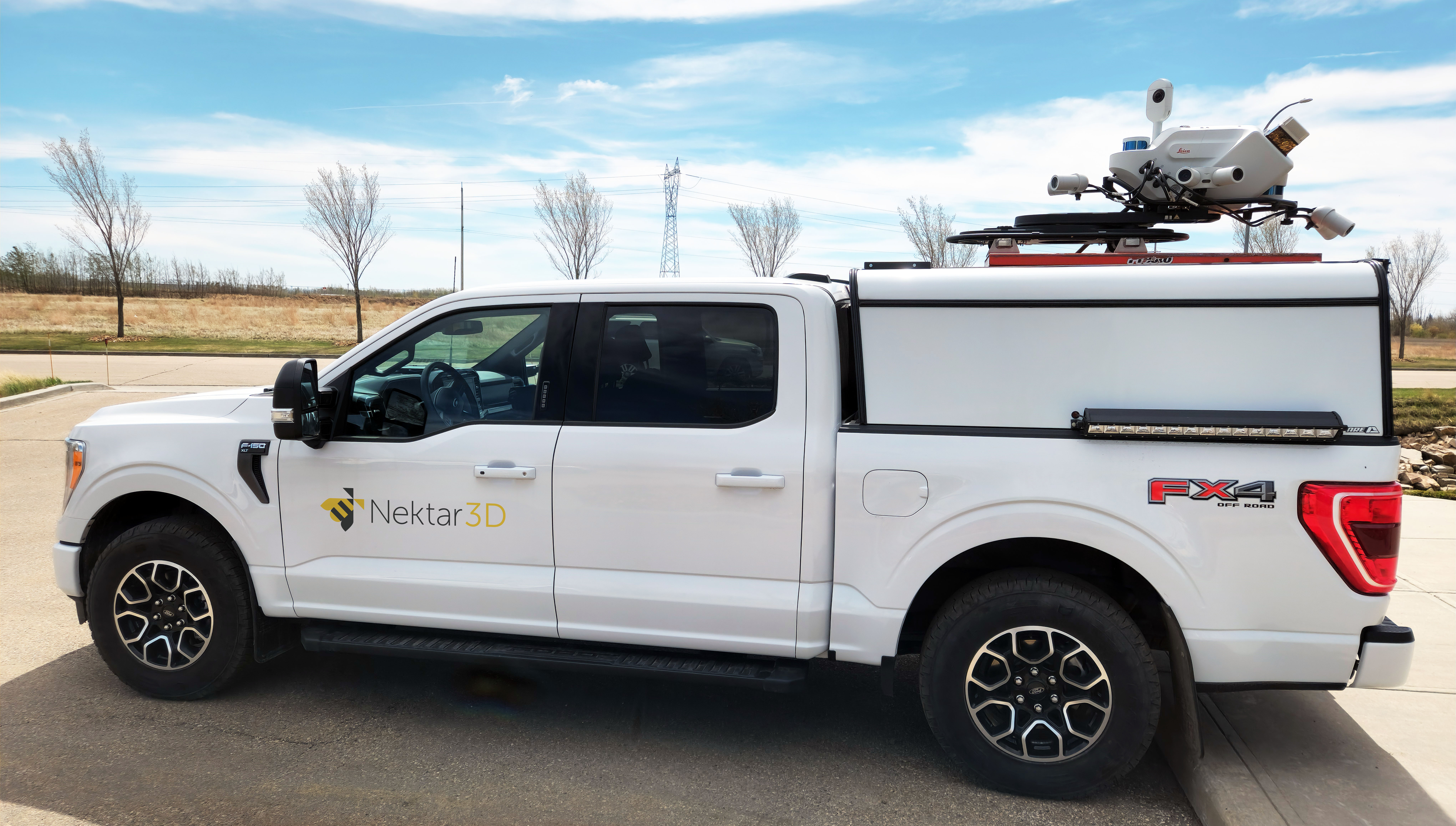
State-of-the-art LiDAR Scanner on a flexible mounting platform.
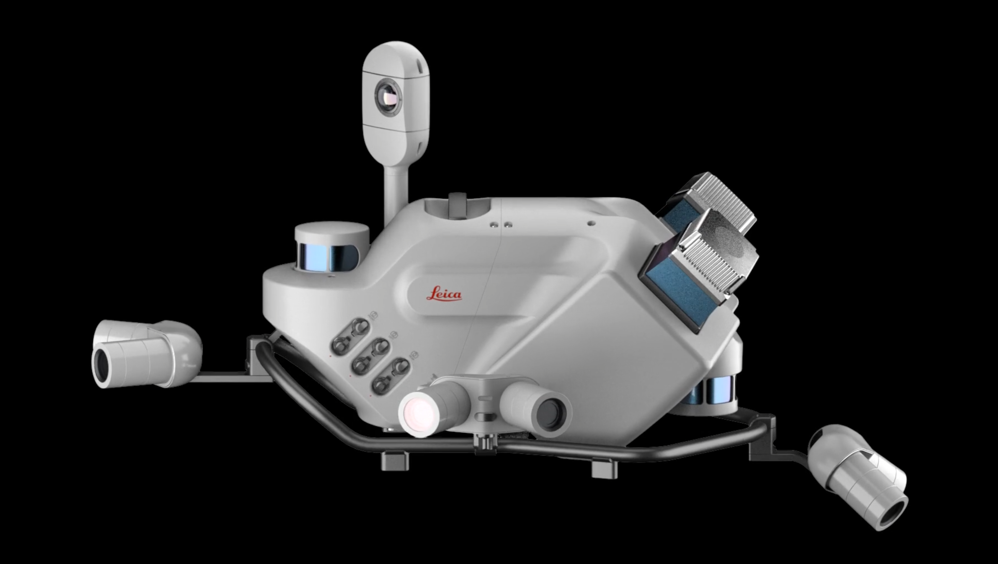
Nektar 3D Mobile Mapping owns and operates a dual-head Leica Pegasus: Two Ultimate Laser Scanning System which is one of only a handful of units worldwide. The dual scanning system enables the collection of point clouds with limited shadowing effect and helps collect more detailed point clouds in less survey passes. This ensures that clients are provided with the highest quality data, which can be used for multiple applications without concerns related to low point density.

- Nektar 3D recently acquired three brand new state-of-the-art LiDAR scanners.
- Leica TRK 700 NEO – Time of Flight scanner enabling ground collection through vegetation and distances up to 500m.
- Leica TRK 700 EVO – Phase Based scanner, the most accurate Mobile LiDAR Scanner on the market with 1mm precision.
- Both scanners are equipped with dual SLAM, and can be configured with a Mechanical/Optical DMI for GPS challenging environments.
- Emesent Hovermap ST-X – SLAM based LiDAR for walking in both indoor/outdoor environments, RTK or GCP controlled for accurate tie down.
Nektar 3D’s Laser Scanning System is equipped with two high-end Z+F 9012 phase-based scanners that can collect up to 2,000,000 points per second. Unlike Time of Flight (TOF) scanners, Phase-Based scanners are able to capture a denser point cloud where point density could exceed 1,500 points per square meter on the pavement surface.
In addition to the LiDAR sensors, the system is also equipped with four built-in high-sensitivity CMOS 12MP cameras, two 12MP pavement cameras, and two dual fish-eye 24MP spherical cameras that create a panoramic 360° view of the surrounding environment, as demonstrated in the video below.


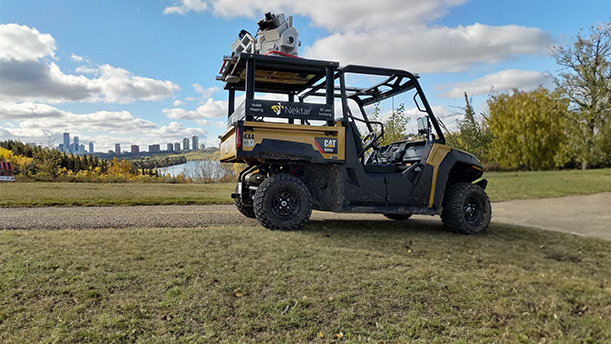
At Nektar 3D we realise that accessibility and versatility are key elements when it comes to mapping different projects, as a result, we designed and built a versatile platform which eases the process of mounting the scanning system onto any moving vehicle. The makes the scanning process much more effecient and extends our outreach beyond paved roadways.
