Parks and Recreational Sites
Preserve and assess assets at parks, recreational areas and heritage sites by creating highly detailed models of existing infrastructure
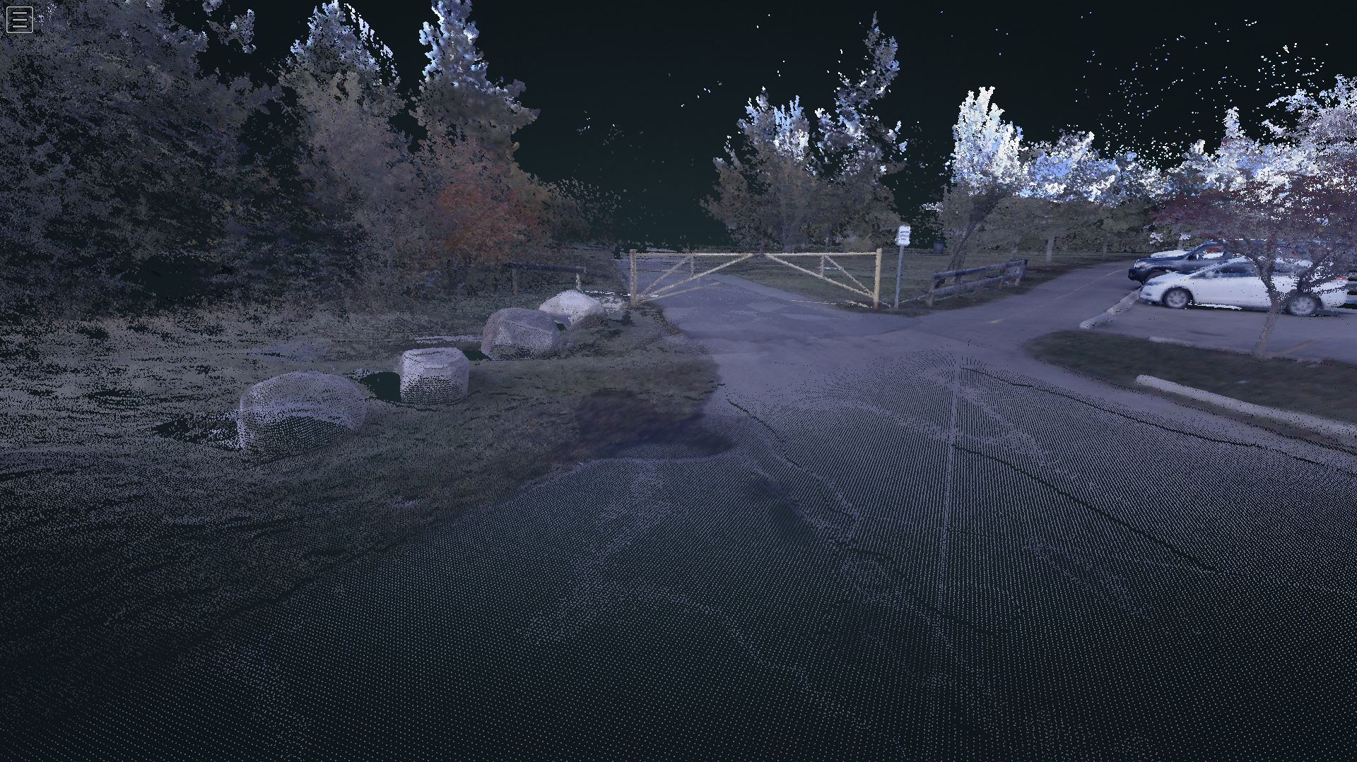
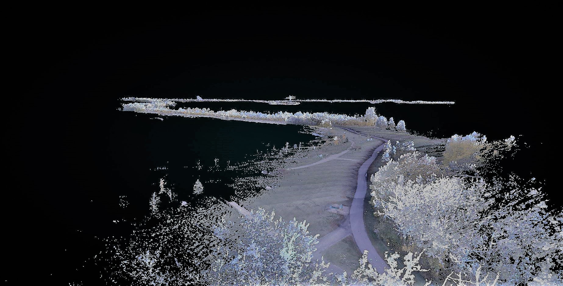
The value of LiDAR scanning extends beyond scanning highways and rail infrastructure to include locations such as parks and recreational, areas, and riverbanks, which are difficult to access and survey using conventional techniques.
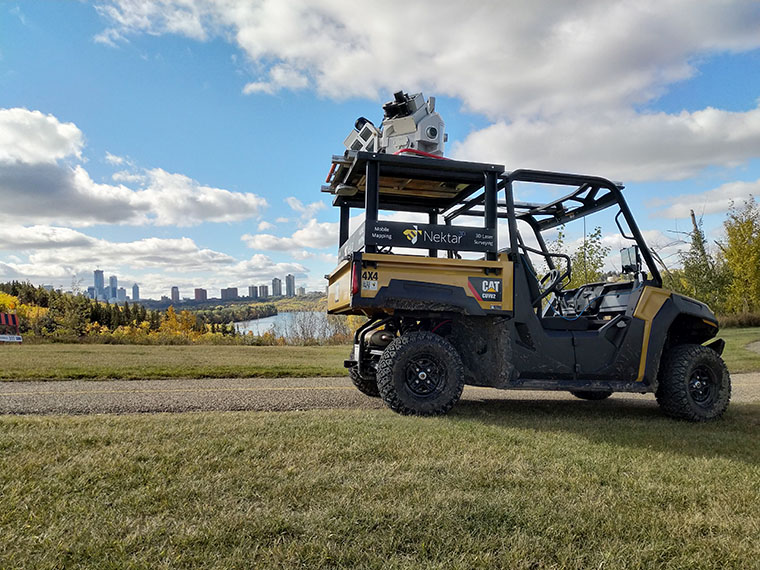
With the flexibility to mount our laser scanning system on a utility vehicle, Nektar 3D Mobile Mapping can scan spaces much smaller than a typical open-field job sites or roadways. By mounting the LiDAR unit on our side-by-side, we can scan locations with varied terrain where a pickup truck is unable to scan.
POTENTIAL APPLICATIONS
Condition Assessment of Trail Infrastructure
Nektar 3D’s mobile LiDAR can be used to scan portions of local walking trail networks. These scans will help inventory river-valley assets and assess their conditions. This includes detail on parking facilities and trail width and condition collected across the entirety of the trail system.