Nektar 3D Mobile Mapping
Virtual Mapping of Infrastructure Elements
Our Services
What we do
Nektar 3D Mobile Mapping uses cutting-edge LiDAR technology to accurately survey terrain and infrastructure elements. In a single survey pass, the technology can create a highly detailed three-dimensional…
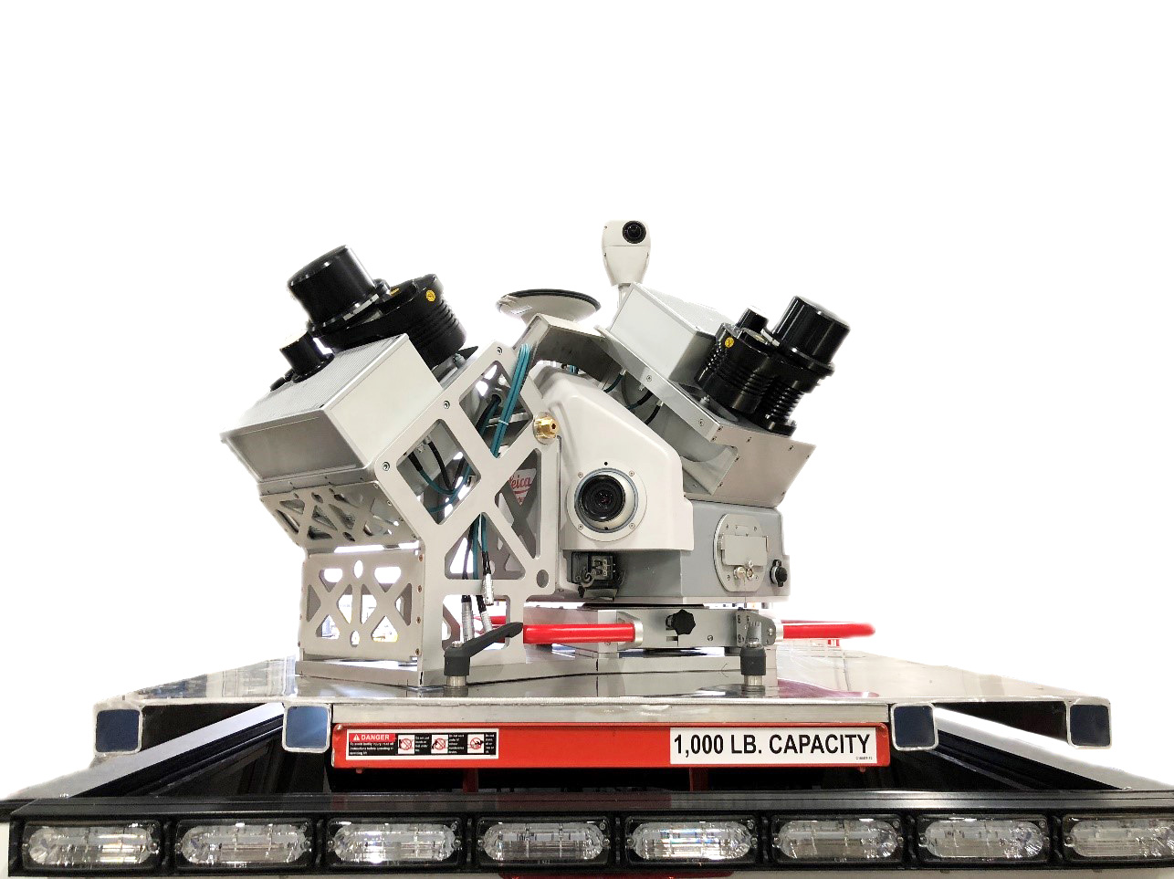
LiDAR Mobile Mapping Platform
Nektar 3D Mobile Mapping owns and operates a dual-head Leica Pegasus: Two Ultimate Laser Scanning System which is one of only a handful of units worldwide.
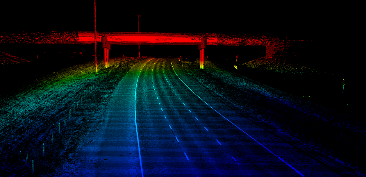
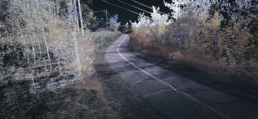
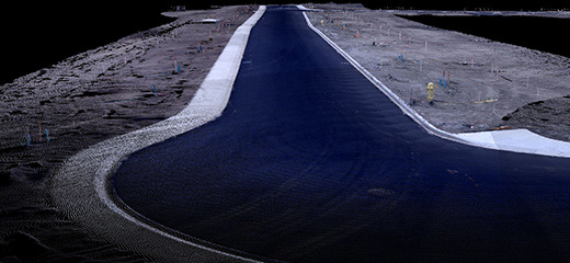
Sample Point Cloud in Web Environment
Click Here to View a Sample Point CloudBenefits
Why Nektar 3D Mobile Mapping?
Nektar 3D Mobile Mapping provides accurate mobile LiDAR surveys in a safe and extremely efficient manner.
Accuracy
Nektar 3D’s dual-scanner high-precision laser scanning equipment has a scan rate of 2 million points per second, resulting in a density of up to 2,000 points/meter square. This provides you with a highly accurate representation of your scanned region.
Efficiency
Using Nektar 3D’s technology, only a single survey pass at traffic speeds is required to create a highly detailed model of your jobsite. Our staff can collect, process and deliver datasets within days.
Safety
Mobile mapping allows for a single data collection vehicle to safely and efficiently capture data in real time. This eliminates the need for a large crew to be deployed along busy highways or in other unsafe environments.
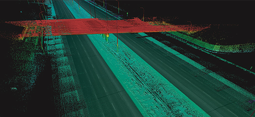
Transportation Infrastructure
Pre-Construction/Pre-Design Verification
Scanning existing infrastructure makes it easy to track assets and assess roadway conditions.
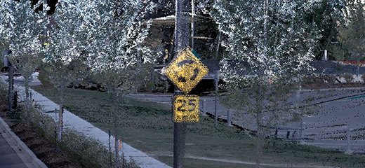
Asset Mapping
Detailed Collection of Job site Assets
Rapid high-density data collection produces detailed point clouds to better highlight your assets.
Parks & Recreation
Preserve Regional Attractions in 3D
Scanning existing infrastructure makes it easy to track assets and assess roadway conditions.
Surface Management
Pre-Construction and Design
Manage construction planning and design with detailed digital surface models of your job site.